

If you are looking for the most memorable hike in the Anaga mountains of Tenerife, one route stands clearly above the rest — a circular trail that follows ancient stone water channels and passes through three rock-cut tunnels deep inside the UNESCO Biosphere Reserve.
Unlike crowded tourist viewpoints, this route takes you through quiet laurisilva (ancient laurel forest), narrow cliffside irrigation channels, and dramatic open ridges. Below is a clear, honest breakdown of what the hike actually feels like, how demanding it is, and who it is truly suitable for.
Route at a Glance
• Distance: 5.5 km
• Hiking time: 3.5 to 4 hours (at an unhurried pace)
• Elevation gain: Approx. 300 metres
• Route type: Fully circular loop
• Group size: Maximum 4 guests
• Format: Small-group guided hike
Keeping the group capped at four people is intentional. On narrow ledges and inside dark tunnels, a small group ensures safety, personal attention, and a relaxed rhythm without anyone feeling rushed.
How the Hike Unfolds
The Scenic Warm-Up
The day starts with a gentle 60-to-90-minute walk along mountain ridges. This opening section gives you time to adjust to the cooler, fresher air of northern Tenerife, take in the sweeping views over deep ravines, and settle into a comfortable walking rhythm before the terrain becomes more technical.
The Forest Descent
Next comes a 20-minute descent through dense laurel forest. While the gradient is moderate, the ground is uneven, covered in roots, and often damp or slippery after mountain mist and rain. Even experienced hikers feel their knees working here. We provide trekking poles for this section, and using them makes a noticeable difference.
Water Channels and Cliffside Exposure
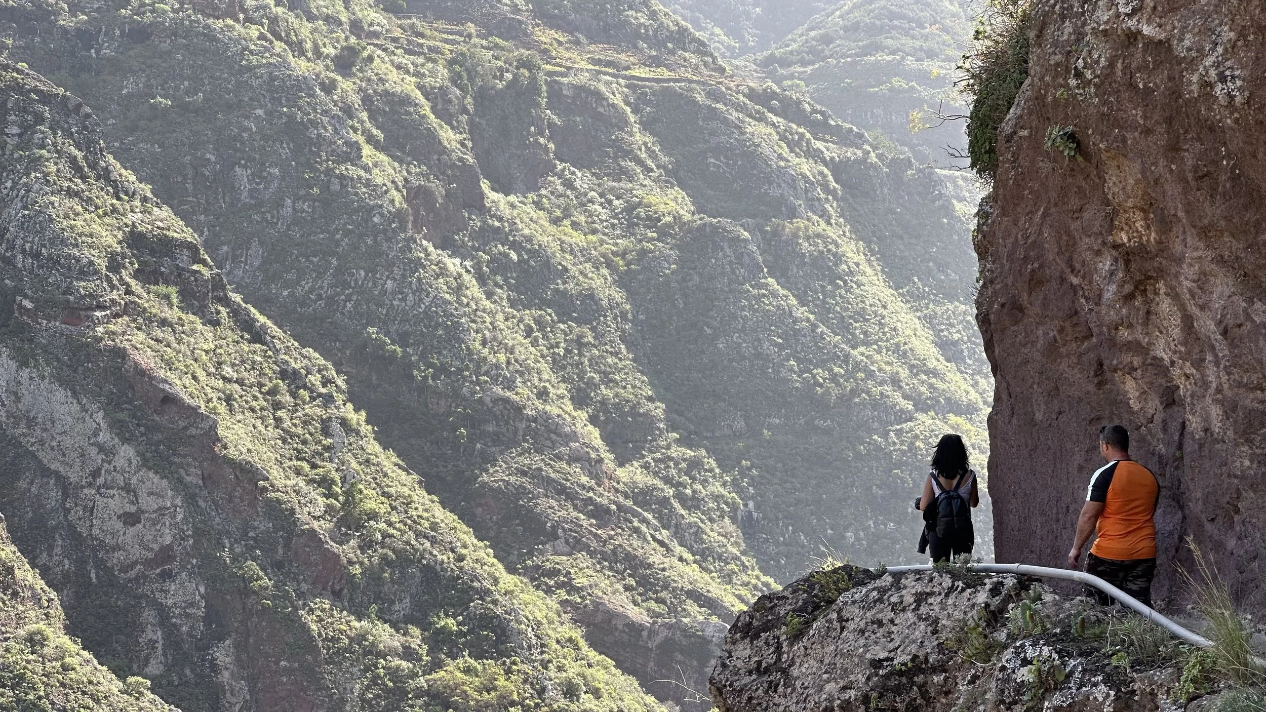
This is the defining part of the trail. You walk directly along historic irrigation channels carved high into the mountain slopes. The drop-offs are real, and the views across the valley are extraordinary. In a few spots, overhanging rock requires you to duck low as you move forward. If you have even a mild fear of heights, this section will test your comfort zone — yet for most guests, it becomes the highlight of the entire day.
Tunnels and Running Water
Along the loop, you pass through three underground tunnels, the longest stretching roughly 60 metres. During winter or after heavy rainfall, water flows along the tunnel floor, often a few centimetres deep. Your shoes will get wet — it is simply part of the experience. We provide headlamps and rain ponchos, though bringing a spare pair of dry shoes to leave in the car is strongly recommended. Because of the low ceilings and narrow rock walls, this route is not suitable for anyone with claustrophobia.
The Final Ascent
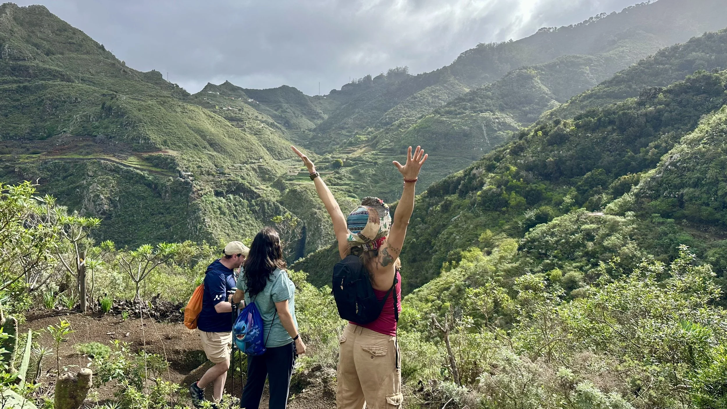
The circular route finishes with a steady, steep climb back toward the starting point. There is no rush here — everyone climbs at their own pace with short breaks whenever needed. Reaching the top of the loop brings a genuine sense of accomplishment after navigating such varied terrain.
Who This Route Is For
While the distance and elevation gain place this hike in the moderate category, the terrain demands focus and physical confidence. This trail is a great fit if you have:
• Good general fitness for 3.5–4 hours of active walking
• Healthy knees, ankles, and back (for the forest descent and final climb)
• Comfort with narrow paths and genuine height exposure
• No claustrophobia in dark, confined tunnels
It is not a casual sightseeing stroll, which is precisely why walking with an experienced guide in a small group makes the route both safe and deeply rewarding.
What to Bring and How We Prepare
To keep the day effortless, we provide trekking poles, headlamps, and ponchos, as well as water and light local snacks. For your own comfort, please bring:
• Sturdy footwear with good grip (trail runners or hiking shoes that you do not mind getting wet)
• A spare pair of shoes and dry socks to leave in the vehicle for the ride back
• A light windproof jacket or fleece, as Anaga’s microclimate is noticeably cooler and more humid than the southern coast
Frequently Asked Questions
How difficult is the Anaga tunnels hike?
It is rated as moderate. The 5.5 km distance is manageable for anyone with average fitness, but the uneven forest descent, exposed water channels, and steep final climb make it more demanding than a standard forest trail.
Is this a circular route?
Yes, it is a complete loop, meaning you never retrace the same path and experience constantly changing scenery from start to finish.
Why is the group limited to four people?
A maximum of four guests allows us to travel comfortably in a standard passenger car rather than a large bus on winding mountain roads, avoid crowded stops, and offer individual support on exposed sections.
Can I join if I am afraid of heights?
We advise against it. The paths along the water channels run high above steep slopes with genuine exposure.
What happens if it rains?
Light mist and drizzle are normal in Anaga’s cloud forest and add to the atmosphere. However, if heavy rain or strong winds make the exposed sections unsafe, we adjust the route or reschedule for your safety.
Ready to Explore Anaga?
If this sounds like the kind of authentic, off-the-beaten-path adventure you are looking for in Tenerife, check our available dates or reach out directly with any questions about trail conditions and fitness requirements.


